Beringia
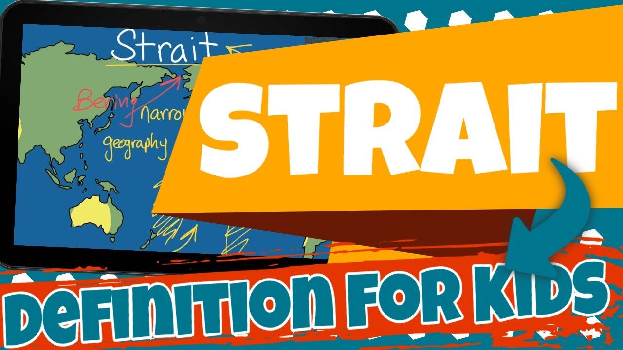
Beringia is like a land that used to connect Asia and North America a really, really long time ago. It's not there anymore, but when it was, it was like a bridge made of land and ice. People and animals could walk across it, kind of like going on a big adventure from one continent to another.
Lesson Plan: Exploring Beringia, Elevation Changes, and Earth's Changing Geography
Objective:
To introduce students to the concept of Beringia, a land bridge connecting Asia and North America in the past.
To help students understand the influence of elevation changes on Earth's geography.
To engage students in creative activities related to Beringia and the potential impact of future changes in elevation.
Materials:
Pictures or diagrams illustrating higher and lower elevations
Whiteboard and markers
Small containers or bowls (optional for activity)
Crayons, colored pencils, or markers
Blank sheets of paper
Introduction (10 minutes):
Begin by asking the students if they've ever wondered how the world's landscape changes with differences in elevation. Write down their ideas on the whiteboard.
Explain that today, they will learn about Beringia, a unique place that once connected Asia and North America, and explore how changes in elevation have shaped Earth's geography.
Discussion (15 minutes):
Show the students a world map or globe and point out the locations of Asia and North America.
Introduce Beringia as a land bridge that used to exist between these two continents when the elevation was lower.
Discuss the concept of changing elevation:
Explain that elevation refers to the height of land above sea level.
Illustrate how higher elevations create mountains and lower elevations form valleys and plains.
Discuss how changes in elevation can impact the flow of rivers and the shape of coastlines.
Share interesting facts about Beringia and the animals that lived there during periods of lower elevation.
Activity (20-25 minutes):
Set up a creative activity to help students visualize Beringia and changing elevations:
Provide each student with a blank sheet of paper and art supplies (crayons, colored pencils, markers).
Ask them to draw two pictures side by side: one showing Beringia as a land bridge during lower elevation, and the other showing the same area with higher elevation, turning Beringia into a mountainous region.
Encourage them to include details like rivers, mountains, and animals if they wish.
Alternatively, you can use small containers or bowls filled with water to demonstrate how land elevations influence the flow of water and the appearance of coastlines.
Conclusion (5 minutes):
Summarize the key points about Beringia and changes in elevation:
Beringia was a land bridge that connected Asia and North America when the elevation was lower.
Elevation refers to the height of land above sea level.
Changes in elevation can create mountains, valleys, and impact Earth's geography.
Ask students to share their drawings and explain the differences between the two pictures they created.
Wrap-up (5 minutes):
Have a brief class discussion to recap what the students have learned about Beringia, elevation changes, and their effects on Earth's geography.
Encourage students to think about how understanding these concepts can help us appreciate the diverse landscapes on our planet.
Homework (Optional):
If desired, assign a short homework task such as asking students to research and write a paragraph about how elevation changes have influenced the formation of famous natural landmarks or mountain ranges.
Assessment:
Assess students' understanding through class discussion, their participation in the activity, and their ability to summarize key points about Beringia and changes in elevation during the conclusion.


